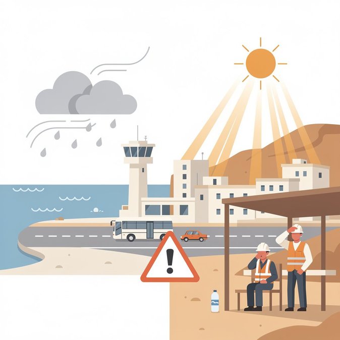
Cyprus is experiencing a brief lull in its midsummer heatwave, with Saturday, 25 July bringing pockets of cloud and the possibility of short-lived afternoon showers over the Troodos range and parts of the east coast. Daytime highs will still reach 34 °C inland—two degrees below the seasonal norm—but the Meteorology Service expects temperatures to rebound above average by Tuesday. For globally mobile staff and project teams, the temporary dip offers a narrow window to schedule outdoor inspections, site visits or orientation tours with reduced heat-stress risk. Facilities managers should, however, factor in the likelihood of slippery surfaces after isolated rain, particularly at construction compounds in the mountains where land development remains brisk. Winds are forecast to freshen to Force 5–6 locally, overlapping with the yellow wind warning already in place. Airlines typically pad block times by five to ten minutes under such conditions, so arrival slots could bunch up during the early evening peak. Travellers connecting onwards to the northern part of the island via the Green Line crossings should note that UNFICYP occasionally imposes brief traffic holds when visibility drops along the buffer-zone road network. The warming trend from Sunday onward means the Labour Ministry’s summer work-rest cycle—requiring halts to heavy outdoor labour once the heat-index exceeds 39 °C—will probably be re-activated early in the work-week. Companies planning relocation moves or household-goods deliveries should therefore reconfirm elevator reservations and plan for possible mid-day pauses by moving crews. Looking further ahead, meteorologists hint at a Saharan-dust intrusion around Thursday. If confirmed, this could depress air-quality indices and trigger further advisories for vulnerable groups, including recent arrivals unaccustomed to Cyprus’ high particulate counts. Employers should keep N95 masks on hand and update pre-assignment health briefings accordingly.
Source: Cyprus Mail