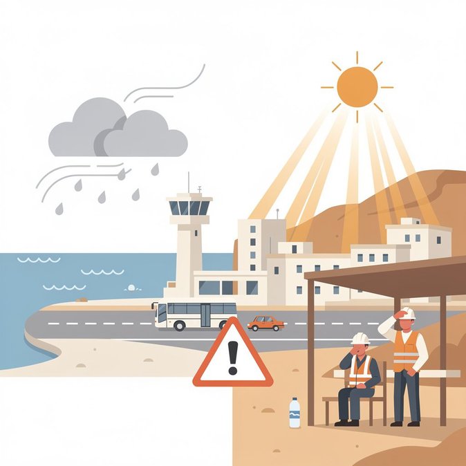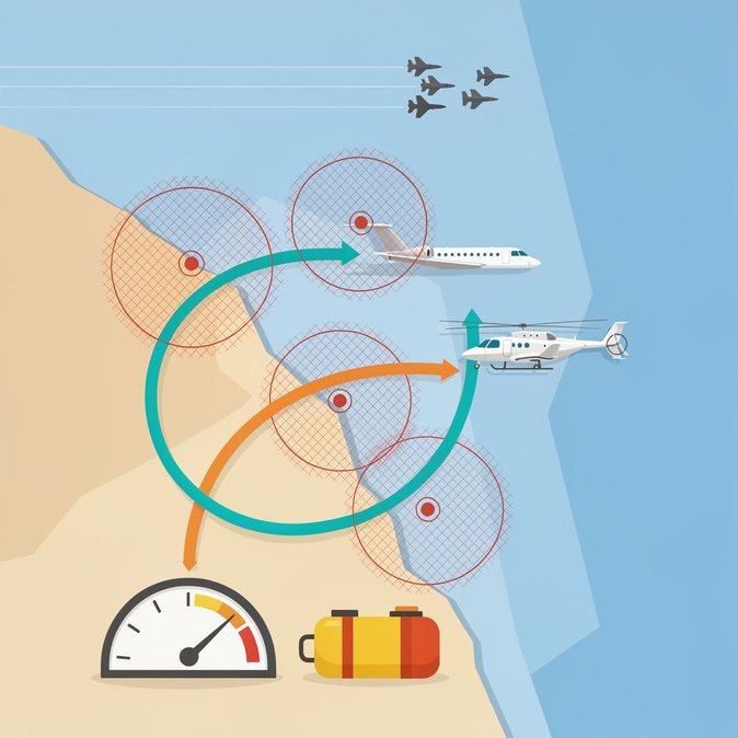
The Cyprus Department of Meteorology has issued a yellow alert for strong westerly-south-westerly winds across the island on Saturday, 25 July. Gusts are forecast to reach Force 7–8 on the Beaufort scale in exposed coastal areas, particularly along the south-eastern shoreline. Although the alert is valid from 08:00 to 18:00 local time, forecasters say the strongest bursts are likely around midday when daytime heating accelerates the pressure gradient. For aviation, cross-winds of this intensity can obligate air-traffic controllers at Larnaca (LCA) and Paphos (PFO) to increase separation between arrivals, extend approach patterns or temporarily suspend ground handling when equipment cannot be operated safely on the apron. Cyprus Airways and several European carriers told Global Mobility News that they have pre-positioned reserve crews and may activate contingency slots in Athens or Heraklion if holding times exceed the airlines’ duty-time limits. Maritime operators are also on alert. Passenger catamarans linking Limassol, Larnaca and nearby Greek islands could face schedule changes, while roll-on/roll-off cargo services may impose speed restrictions that push arrival times into the early hours of Sunday. Logistics managers moving time-sensitive freight—especially pharmaceuticals that rely on a cold chain—should ensure that reefers have sufficient fuel for extended voyages and reconfirm truck pick-ups at the ports. Employers with assignees arriving this weekend are advised to build extra buffers into airport transfers and onboarding timetables. Immigration authorities confirmed to Global Mobility News that entry desks at Larnaca will remain fully staffed, but warned that “surges are inevitable” if multiple flights land in quick succession once winds ease. Hotels around the airport report occupancies above 90 per cent because of school-holiday demand, so last-minute rooms may be scarce if an overnight lay-over becomes necessary. From a duty-of-care perspective, companies should share the civil-defence hotline (112) with travellers, remind them to secure loose items on balconies, and discourage recreational boating or high-profile vehicle use (e.g., vans, high-roof SUVs) during the alert window. The warning is expected to lapse Saturday evening, but forecasters hint at a renewed low-pressure system mid-week; mobility managers should continue monitoring official bulletins.
Source: Kitasweather