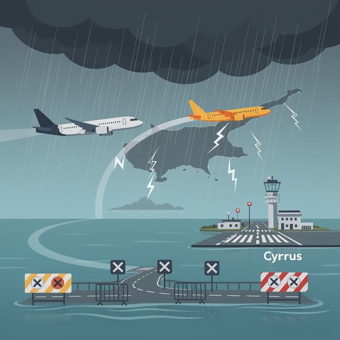
An intense weather system swept across Cyprus late on 14 October, triggering an orange alert, flooding roads and forcing at least one commercial flight to divert from Paphos to Larnaca International Airport. The Glasgow–Paphos service, operated by a UK carrier, landed safely in Larnaca after cross-winds exceeded the Boeing 737’s limits. According to the Cyprus Meteorological Service, the island recorded more than 9,700 lightning strikes over the 24-hour period, with rainfall reaching 157 per cent of the monthly average in just two weeks. Civil Defence used the CY-Alert system to warn residents in Paphos, Limassol and parts of Larnaca of potential flash floods, while police closed the Peyia–Lara coastal road after a river burst its banks. The disruption underscores the growing importance of weather-risk planning for corporate mobility programmes. October is traditionally a shoulder-season month for incentive travel, but the frequency of extreme rain events has doubled since 2020, Hermes Airports data show. Travel managers sending staff to Cyprus are advised to build in flexible itineraries, use airlines that operate multiple daily frequencies and monitor the CY WeatherNow API for real-time alerts. Airport authorities activated their diversion protocol smoothly: ground handlers at Larnaca repositioned buses and immigration officers cleared the 180 displaced passengers in under 25 minutes. Nonetheless, the incident exposed bottlenecks – notably limited overnight accommodation near Paphos and long taxi queues – that could become acute once tourism rebounds after Cyprus joins Schengen. Business travellers arriving this week should check with their airlines as further isolated thunderstorms remain possible. The Department of Public Works has pledged to clear blocked drainage on the Limassol–Paphos highway before the weekend to prevent repeat closures.
Source: Cyprus Mail