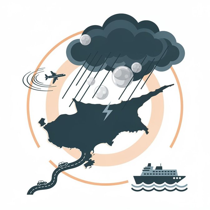
The Cyprus Meteorology Department upgraded its weather advisory to orange level on Wednesday afternoon, warning of intense thunderstorms, gusty winds and possible hail from 15:00 on 14 October until 05:00 the next morning. A CY-ALERT text message went out to residents in Paphos, Limassol and parts of Larnaca at 13:47, while Civil Defence urged the public to secure loose objects and avoid unnecessary travel. Rainfall rates are expected to reach 55–70 mm per hour, high enough to trigger flash flooding on coastal roads and low-lying sections of the A1 and B6 motorways. Larnaca and Paphos airports remain open but Hermes Airports advised passengers to check flight status frequently, noting that aircraft may need to hold or divert if lightning cells sit over approach paths. Port operations at Limassol temporarily suspended container handling during the heaviest squalls, and the Port Authority issued a navigation warning to small craft. Several Green Line crossing points in mountain areas are on watch for landslides, which in previous storms have forced temporary closures and rerouted commercial traffic via the Astromeritis checkpoint. Multinational companies with field engineers or sales teams on the road were quick to activate severe-weather protocols, instructing staff to delay inter-city trips until the front has passed. Travel-insurance providers reminded policy-holders that rental-vehicle damage caused by hail may not be covered under basic collision waivers. Although autumn storms are common, the Met Office rarely escalates to orange in October. With climate models showing more frequent high-intensity events in the Eastern Mediterranean, mobility planners may need to treat extreme weather as a recurrent rather than exceptional risk when scheduling assignments and group moves.
Source: Cyprus Mail