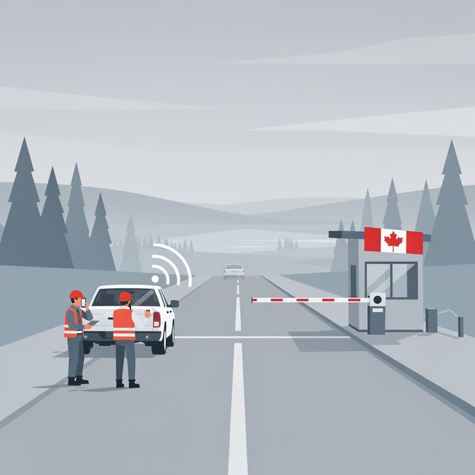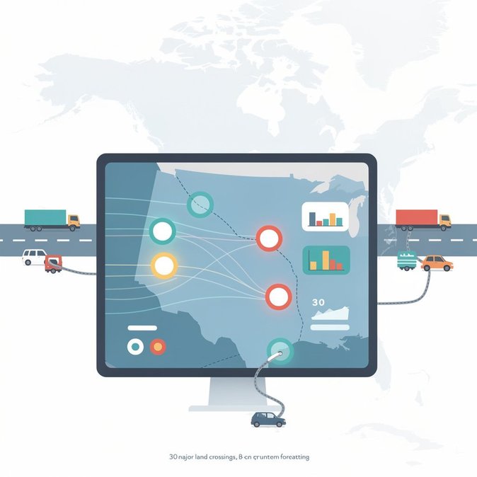
Travellers crossing the Canada–U.S. land border this long weekend will notice a refreshed wait-time dashboard on the Canada Border Services Agency website, launched in the early hours of October 11. The overhauled interface now displays 30 of the busiest crossings on a single map, colour-codes passenger-vehicle and commercial-truck lanes separately and offers predictive congestion trends for the next six hours based on historical data and live sensor feeds. The upgrade could be a game-changer for business-travel planners and cross-border logistics teams. During last year’s Thanksgiving Monday, commercial trucks waited more than 90 minutes at the Ambassador Bridge, costing an estimated CAD 3.1 million in driver time and refrigerated-cargo spoilage. CBSA officials say the predictive tool should help carriers reroute in real time to less-congested ports such as the Blue Water Bridge or the Peace Bridge, smoothing supply-chain flows. A new API is also available to enrolled users—chiefly trucking firms and travel-management companies—allowing them to embed wait-time data directly into dispatch software or mobile travel apps. The agency plans to add NEXUS-lane metrics in 2027 once U.S. Customs and Border Protection upgrades its own feeds. Privacy advocates have raised few objections because the system aggregates license-plate scans and Bluetooth signals in anonymised form. Nonetheless, the Office of the Privacy Commissioner has been consulted and will audit the dataset annually. For global-mobility teams moving staff or equipment between Canada and the United States, the practical advice is simple: integrate the new forecast layer into travel dashboards, share the public link with travellers and schedule shipments away from predicted red-zone periods. Employers should also remind employees that NEXUS and FAST memberships can still halve clearance times even at busy crossings.
Source: Canada Border Services Agency