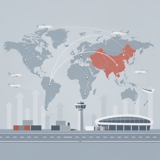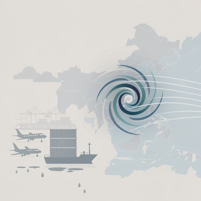
The China Meteorological Administration issued a Level-II “Major Meteorological Information Bulletin” at 15:00 CST on 20 October as Super Typhoon 30 “Qiangpi” roared toward Taiwan’s east coast with sustained winds exceeding 62 m/s. Two trajectory scenarios are in play: a landfall near Taitung around 24 October followed by a second strike on Fujian; or a turn to the northeast skirting Taiwan but still lashing the East China Sea. Either path will generate gale-force winds of 7-9 Bft (gusts 10-14) across the East China Sea, Taiwan Strait and coastal waters of Fujian, Zhejiang and Shanghai between 21 and 26 October. Rainfall totals could surpass 500 mm in eastern Taiwan and 150 mm along the Zhejiang and Shanghai littorals, raising the spectre of flash floods and port closures. Civil Aviation Administration of China (CAAC) officials have alerted airlines to prepare flow-control slots at Shanghai Pudong, Fuzhou and Xiamen airports from 23 October, and to pre-position aircraft at inland alternates such as Hefei and Nanchang. Cruise operators have rerouted two voyages that were scheduled to call at Xiamen’s Dongdu terminal on 24 October, while Ningbo-Zhoushan Port has instructed container lines to secure stacks and suspend reefers if gusts exceed force 10. Corporate mobility managers should advise travellers to book flexible fares, monitor airline apps for same-day cancellations, and build an extra travel day into itineraries involving the Yangtze River Delta. Road-transport firms moving dangerous goods in Fujian and Zhejiang will face compulsory suspensions once local maritime bureaus hoist Typhoon Signal III, likely late on 22 October. CMA experts say the storm’s future track should become clearer after 22 October when it begins interacting with mid-latitude westerlies. Updated bulletins will be issued every six hours; the public can follow real-time maps on the CMA “Typhoon Track” mini-program.