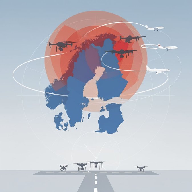
Air-navigation service provider Fintraffic has issued NOTAMs activating several temporary danger (EFD562 Nangujärvi) and restricted (EFR666 Lokk2) areas across the Helsinki Flight Information Region from 28 September to 2 October 2026. The zones, detailed in AIP Supplement 133/2026, cover altitudes from the surface up to 2 700 ft and are intended for combined unmanned-aerial-vehicle manoeuvres and live-fire exercises by the Finnish Defence Forces. The restrictions span sections of Lapland and North Karelia, intersecting two busy general-aviation corridors used by helicopter charters that service mining and wind-farm sites. Fintraffic says slots for medical flights will be cleared within five minutes, but non-scheduled VFR traffic must file re-routes at least two hours before departure. Commercial instrument flights are largely unaffected, yet carriers operating turboprops on the Joensuu–Helsinki shuttle will experience slightly longer arrival paths. Drone operators—including mapping firms and construction-site surveyors—face a complete ban in the affected zones. Business Finland’s robotics cluster has advised companies to shift test flights to certified ranges in Kotka or Oulu during the window. Failure to comply could result in €3 000 administrative fines under the Civil Aviation Act. The exercise coincides with Finland’s LVV26 evacuation drill, allowing authorities to evaluate how quickly NOTAM data propagates through international flight-planning systems and consumer navigation apps. Eurocontrol confirmed that the new areas were uploaded to its Network Manager within 30 seconds, a performance metric Finland hopes to showcase as it campaigns to host a planned Nordic UAV Operations Centre in 2027. Pilots can access the full coordinates via Fintraffic’s AIS portal or by calling the 24-hour briefing line. Fintraffic urges operators to check for updates daily, as firing schedules may change based on weather.