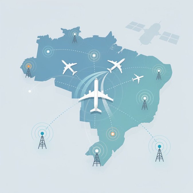
Brazil’s Department of Airspace Control (DECEA) announced on 29 September that a new DME/DME/IRU navigation layer is now operational across major Terminal Manoeuvring Areas—including São Paulo, Rio de Janeiro and Brasília—with rollout to eight hubs by year-end. The upgrade, part of the multi-billion-real Programme SIRIUS, gives airlines a terrestrial fallback should GPS or other satellite signals be jammed or degraded. Distance-Measuring Equipment (DME) stations calculate an aircraft’s position by timing radio “pings” to ground beacons; pairing two stations (DME/DME) and the plane’s inertial reference unit (IRU) delivers RNAV-5 accuracy without satellites. The International Civil Aviation Organisation has urged states to adopt such redundancy as spoofing incidents rise globally. For carriers operating dense Brazil—Europe and Brazil—North America corridors, the benefit is tangible. If a GNSS outage forces reroutes, São Paulo’s TMA can maintain arrival rates, avoiding diversions to Buenos Aires or Montevideo that cost upwards of US $25,000 per flight. Cargo operators serving Manaus’ free-trade zone also gain resilience, protecting just-in-time supply chains. The system enhances Brazil’s standing ahead of the 2027 ICAO Assembly in Montréal, where cyber-resilient navigation will dominate agendas. It dovetails with Receita Federal’s new e-declaration green-channel project and ANAC’s overhaul of passenger-rights rules—signalling a broader push to future-proof the country’s mobility infrastructure. Pilots will notice minimal cockpit change: certified fleets already carry the necessary avionics, and published procedures will appear in the 10 October AIP cycle. Airlines are advised to update their navigation databases and brief crews on DME fix tolerance. For global mobility managers, the takeaway is straightforward—Brazilian airspace just became a safer bet for critical personnel and high-value cargo.